Springston
Springston | |
|---|---|
Rural settlement | |
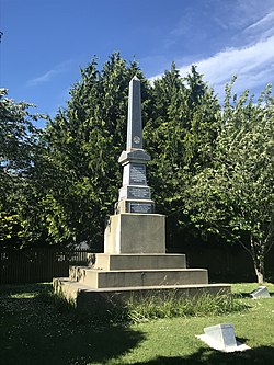 War memorial in Springston | |
 | |
| Coordinates: 43°38′S 172°25′E / 43.633°S 172.417°E | |
| Country | New Zealand |
| Region | Canterbury |
| Territorial authority | Selwyn District |
| Ward | Springs |
| Electorates |
|
| Government | |
| • Territorial authority | Selwyn District Council |
| • Regional council | Environment Canterbury |
| • Mayor of Selwyn | Sam Broughton |
| • Selwyn MP | Nicola Grigg |
| • Te Tai Tonga MP | Tākuta Ferris |
| Area | |
| • Total | 0.37 km2 (0.14 sq mi) |
| Population (June 2023)[2] | |
| • Total | 580 |
| • Density | 1,600/km2 (4,100/sq mi) |
| Time zone | UTC+12 (New Zealand Standard Time) |
| • Summer (DST) | UTC+13 (New Zealand Daylight Time) |
Springston is a small town in the South Island of New Zealand. It is situated in the Selwyn District and is sandwiched between Rolleston and Lincoln. It has a primary school that opened in 1868, small dairy and was developed around the mid-19th century.
References
- ↑ Cite warning:
<ref>tag with nameAreacannot be previewed because it is defined outside the current section or not defined at all. - ↑ "Subnational population estimates (RC, SA2), by age and sex, at 30 June 1996-2023 (2023 boundaries)". Statistics New Zealand. Retrieved 25 October 2023. (regional councils); "Subnational population estimates (TA, SA2), by age and sex, at 30 June 1996-2023 (2023 boundaries)". Statistics New Zealand. Retrieved 25 October 2023. (territorial authorities); "Subnational population estimates (urban rural), by age and sex, at 30 June 1996-2023 (2023 boundaries)". Statistics New Zealand. Retrieved 25 October 2023. (urban areas)