Lerala
| Lerala | |
| village | |
| Land | |
|---|---|
| Distrikt | Central |
| Koordinater | 22°47′47″S 27°45′31″Ö / 22.79639°S 27.75861°Ö |
| Folkmängd | 6 871 (2011)[1] |
| Tidszon | CAT (UTC+2) |
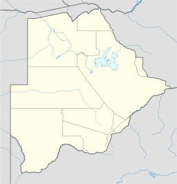 Ortens läge i Botswana
| |
Lerala är en ort (village) i distriktet Central i östra Botswana.
Källor
- ^ ”2011 Botswana Population and Housing Census” (
 PDF). Statistics Botswana. sid. 100. http://www.statsbots.org.bw/sites/default/files/2011%20Population%20and%20Housing%20Census%20%28Results%29.pdf. Läst 31 augusti 2017.